Advertisement
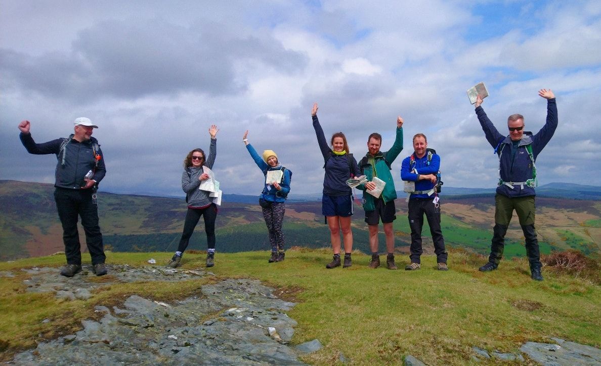
Where: Wicklow MountainsCost: €75.00
A one day introduction course to navigation, maps, contours, map setting and much more...
To book on this course please go to https://mountaintrails.ie/guided-hikes-and-mountaineering-courses/introduction-to-navigation-part-1/
or call +353 (0) 86 4466997.
During the course we will cover:
Understanding the nature of the map as a two dimensional plan.
Use of map symbols and scales on a range of maps, (1:50,000 and 1:25,000).
How to interpret simple contour features.
Orientate the map with and without the compass, then use the orientated map to identify land features and our direction of travel.
Practice contour interpretation of valleys and hills.
Choose simple navigation strategies to reach a target.
Use linear features, (paths and tracks), in simple navigation exercises.
Estimate distances on the map and on the ground.
Take a safe and suitable route.
This course is run at a maximum ratio of 1:8 to ensure each client gets the most out of the day.
What you should bring with you:
Walking boots or waterproof shoes and waterproof jacket and trousers; hat and gloves; packed lunch; water or juice drink, (1.5 litres); small rucksack.
Maps and compasses can be provided if required.
How to get to the start:
To get to Laragh from Dublin take the N11 heading south. Get off at Kilmacanogue, (R775), and head for Roundwood . Go through Roundwood, then Annamoe and on to Laragh. The resource centre is near the church, turn right after the petrol station.
Advertisement
Event Venue & Nearby Stays
Laragh, Wicklow, Ireland
Tickets