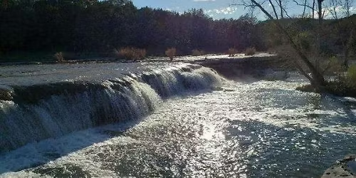
December’s walk (official map here(https://www.alltrails.com/explore/custom-routes/custom-route-02b2cd5)) follows four waterways in Austin's near south side: West Bouldin Creek, East Bouldin Creek, Blunn Creek, and the Colorado River. After exploring volcanic remains in the rugged Blunn Creek Nature Preserve(), we'll follow urban greenbelts for most of our 7.5 mile journey.
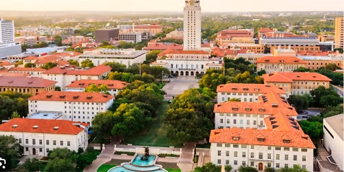
Between these greenbelts, we'll weave through the city's residential landscape as well. First, we'll see the hilltop neighborhood surrounding St. Edward's University. Then we'll wind into historic Travis Heights, known for mature trees and good views of the downtown skyline. Last, we'll traverse the upscale bohemian Bouldin Creek neighborhood.
As usual, some of us will likely stop for lunch at the end.
TRANSIT LOGISTICS:
10 AM start! We’re on our fall/winter schedule.
We’ll meet at the trailhead of Blunn Creek Nature Preserve at the east end of Long Bow Lane
You should be able to find free street parking on Long Bow Lane or St. Edwards Drive.
Official walk map(https://www.alltrails.com/explore/custom-routes/custom-route-02b2cd5)
Event Venue & Nearby Stays
Blunn Creek Nature Preserve, 900 Long Bow Ln, Austin, us