
About this Event
The maps of southern and western Australia were drawn by the French: the d'Entrecasteaux (1791 - 1794) and Baudin (1800 - 1804) expeditions. After the French defeat in the Napoleonic Wars, many of the place names given by the French were replaced by the names of the English Flinders Expedition (1801-1803).
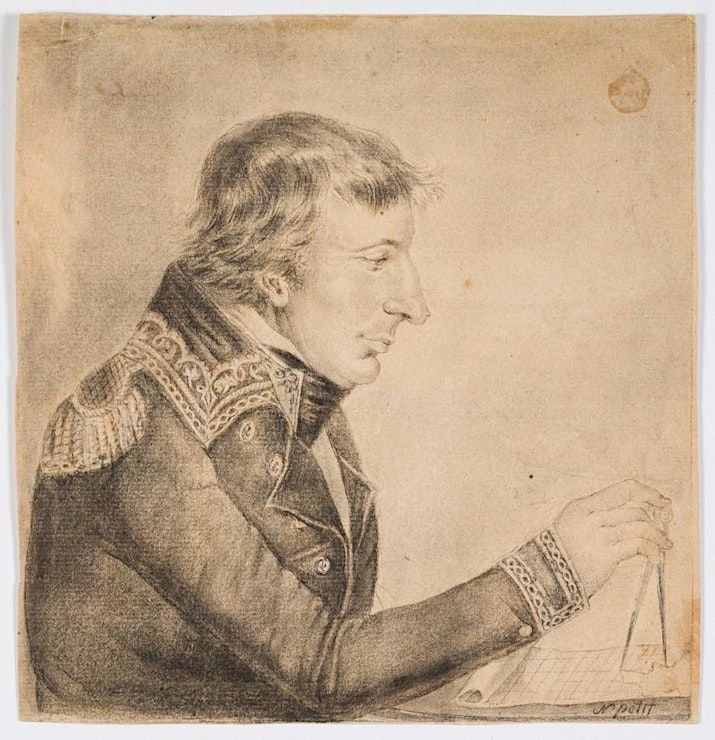
However, in 1911, at the time of the founding of Canberra, Alphonse de Fleurieu, a descendant of Pierre Claret de Fleurieu, the organiser of the Lapérouse, d'Entrecasteaux and Baudin expeditions, travelled to Australia with a map he had corrected. He asked for many French names to be restored. And he got his way.
This map is the final episode in 140 years of adventures and links between France and Australia. Fleurieu deposited it in the archives in 1913. Since then it has been forgotten and ignored by both countries.
It was discovered, along with accompanying papers at the BNF (National Library of France) a few years ago. Although it is fundamental to Australian history, it has never been studied or exhibited in Australia - until now. This special event will feature this important map, together with two marine chronometers used to draw it: a Berthoud from the Baudin expedition and an Earnshaw from the Flinders expedition. Never before have chronometers from both expeditions been displayed together anywhere in the world. This talk is a world first.
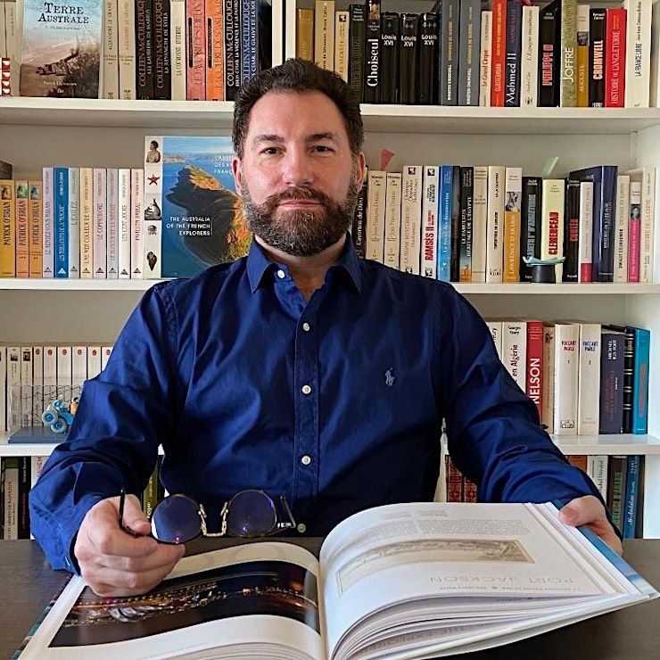
Patrick Llewellyn is the Director of the Nicholas Baudin Research Institute.
For more information on any Members events please email [email protected]
FREE for Maritime Museum Members. Not a Member ? Click here
Event Venue & Nearby Stays
The Theatre, Australian National Maritime Museum, 2 Murray Street, Sydney, Australia
AUD 10.00


