
Advertisement
This talk will use historic maps as a window into Edinburgh during the time of Allan Ramsay.This era witnessed a profound transformation in mapping, as maps produced for military purposes in the first half of the 18th century gave way to new maps created for town planning, urban expansion, for property disputes, or to accompany written histories of the city.
There was a significant growth in the number of maps produced, in map publishers and in map users. Of greater significance still was that as the shape and size of Edinburgh steadily expanded on these maps, the way the city was portrayed reflected a new set of values, linked to the Scottish Enlightenment.
By looking at who made these maps, why, and who they made them for, we can reach a fuller understanding of the maps themselves, and of Edinburgh during the Scottish Enlightenment.
Entry to the Ramsay and Edinburgh Fashion Exhibition included in admission price.
Chris Fleet worked at the Bodleian Library, Oxford, and the National Library of Wales before joining the National Library of Scotland in 1994. His main responsibilities at NLS relate to modern and historical digital mapping and making historical maps available online. He has researched, written and spoken widely on these subjects, and is a co-author of several popular books on Scottish mapping, including Scotland: Mapping the Nation (2011), Edinburgh: Mapping the City (2014), Scotland: Mapping the Islands (2016), and Scotland: Defending the Nation (2018).
Advertisement
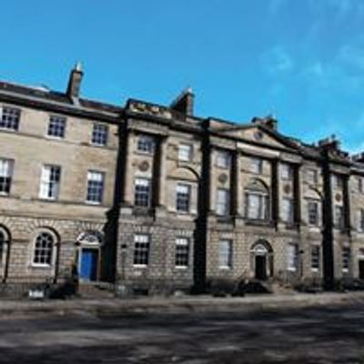
Event Venue & Nearby Stays
7 Charlotte Square, EH2 4DR Edinburgh, United Kingdom, 7 Charlotte Square, Edinburgh, EH2 4DR, United Kingdom,Edinburgh, United Kingdom
Tickets