
About this Event
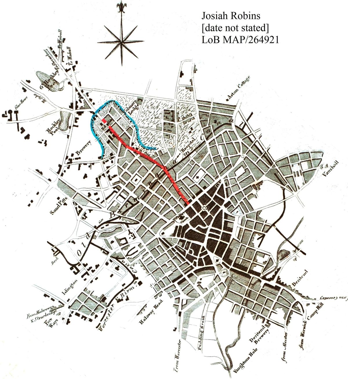
An exceptional opportunity to see a wide selection of Birmingham's earliest maps. Discover why they were made, when they were made, how they were made and,...… can they be trusted?!
This event is part of the Society's Heritage Trails Project, generously funded by the National Lottery Heritage Fund and the W A Cadbury Charitable Trust and organised by Birmingham Civic Society in partnership with Library of Birmingham.
The event is located in the Wolfson Centre for Archival Research, Level 4, Library of Birmingham. The stairs, lift or travelators within the Library of Birmingham can be used to access the Wolfson Centre and there is an accessible toilet on Level 4.
Nearest parking is Paradise Circus multi-storey car park: https://www.birmingham.gov.uk/directory_record/6680/paradise_circus_multi-storey_car_park
https://www.birmingham.gov.uk/archives


Event Venue & Nearby Stays
Library of Birmingham, Broad St, Birmingham, United Kingdom
GBP 0.00